
About Product
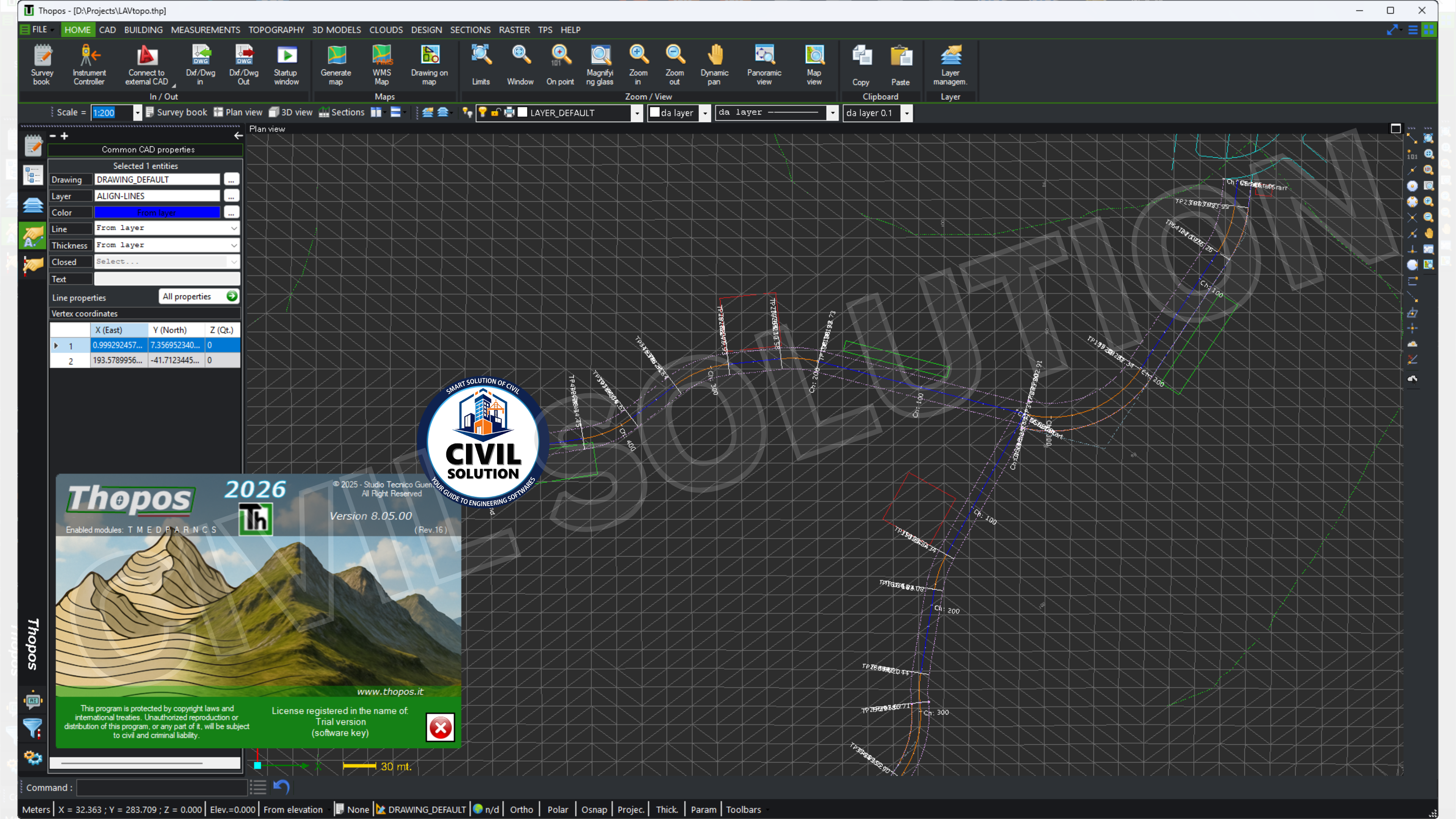
Thopos is a professional surveying and topography software. It is mainly used by surveyors, civil engineers, cadastral technicians, and land-planning professionals.
The program includes tools for:
• topographic surveying;
• CAD drafting and mapping;
• GPS and total station data import;
• cadastral work and boundary reconstruction;
• terrain modeling and 3D design;
• drone survey processing and point clouds;
• raster and georeferenced map handling.
The software is developed in Italy and is especially oriented toward Italian cadastral and surveying workflows.
FEATURES
- Multilingual Interface (2026 New) – Full multilingual support in Italian, English, Spanish, French & German — switchable via Help → Program Settings for global use
- Completely Redesigned Ribbon Toolbar (2026 New) – Rebuilt top toolbar with adjustable button height & width, plus switchable Button Mode & Menu Mode for any monitor size
- 3D Raster Image DXF/DWG Export (2026 New) – 3D raster images now inserted in real geographic position in DXF/DWG exports and recognized on import of DXF/DWG files
- Simplified Altimetric Profile Calculation (2026 New) – New calculation methods for altimetric profile simplification and easier fincatura (table of heights) generation in sections module
- Drone Photogrammetry Integration – Full drone mission planning, GCP management & Open Drone Map integration for orthophoto, point cloud & 3D mesh generation
- GPS & Total Station Integration – Direct interface with Sokkia, Topcon, Nikon, Geomax, Trimble & Leica instruments for real-time field data import & stake-out
- Cadastral Survey & Boundary Demarcation – Complete guided procedure for boundary demarcation with automatic technical report generation — DXF/CXF/CIR cadastral map support
- 3D Terrain Modeling & Volume Calculations – TIN modeling, contour lines, dynamic cross-sections, SRTM DEM import & volume calculation for earthworks and agricultural design
Best For
Land Surveyors & Geometri
Civil & Topographic Engineers
Cadastral & Boundary Professionals
Drone & Photogrammetry Operators
Municipal & Government Survey Teams
Surveying & Geomatics Students
WHAT WILL YOU GET?
How to Access Product after Purchase!
Click on "Dashboard" situated on Top-Right corner, there you will see all of your purchased items.
Why Choose Us ⚡

Instant Download

One Time Payment

Lifetime Access
Share your feedback

 200K+ creators trust Graphy